

  |
Mystery Valley
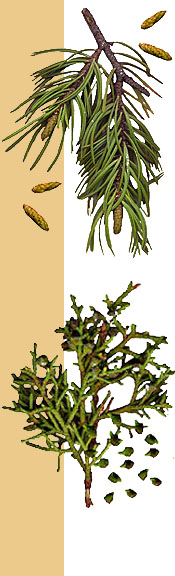
Upon entering Mystery Valley (so named by early government surveyors because of the many markings found there) we could immediately see the need for 4-wheel drive and an expert navigator, since steep, narrow creeks are used for roadways. The area is sparsely vegetated, mostly sagebrush punctuated by occasional Juniper and "gum plant" (shown at left). 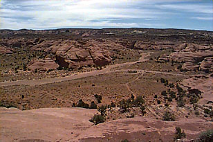
Much of the stone and mud construction still remains intact and the cliff dwellings remain as they were left when the area was abandoned. Around the dwellings we found pieces of colored pottery representing the various styles we described earlier. Inside, the walls of the shelter were covered with black coatings from the fires that had been used to warm the inhabitants.
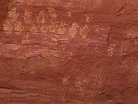
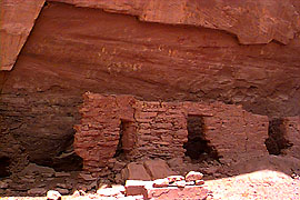 Our exploration included three sites. Or first stop was Honeymoon Bridge, an arc shaped rock formation with a dwelling inside. We found both petroglyphs (symbols chipped into stone) and pictographs (symbols painted with gum and plant pigment) in this area. Or next stop, Manyhands Pueblo, was named for the many handprints left on the rocks here. Our last stop was at Lookout Cliff Dwelling, high in a cavelike structure from which inhabitants had a clear view of enemies coming down the canyon.
 We were able to get some good shots of both the dwellings and the markings before we wrapped up for the day, which can be found on the following page.
|
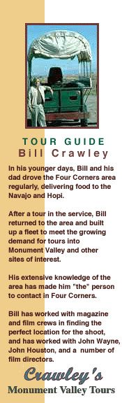
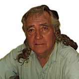 Our guide is Bill Crawley, a good friend who runs a tour service in the area. Bill's own interest ancient markings was excuse enough for him to take time from his busy schedule and show us some of his favorite spots.